Navionics Platinum+
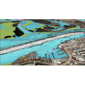
Head out with confidence! All the same marine and lakes content and advanced features found in Navionics+ for GPS plotters are augmented with 3D View, satellite overlay and panoramic photos to provide the ultimate situational awareness. Designed with the most demanding boaters in mind, these additional viewing options can be used on a growing number of GPS plotters.
Navionics make thousands of edits every day, so you can always have the most current charts.
Daily updates and advanced features are included for one year.
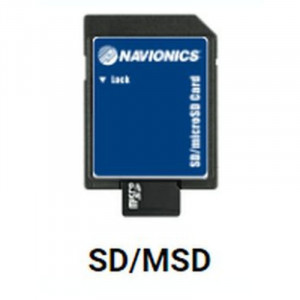
Supplied in SD card format which includes a Micro SD card.
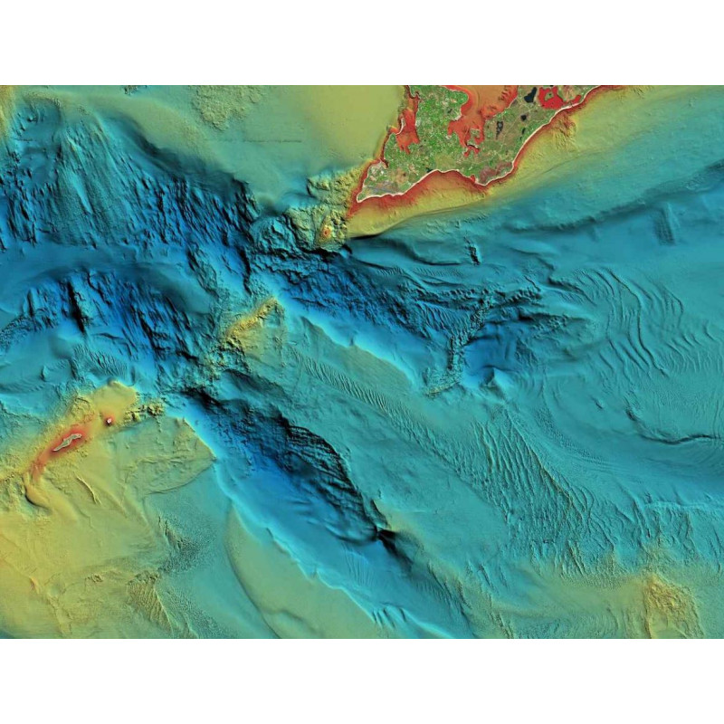
Activate your Navionics subscription for Relief Shading!!
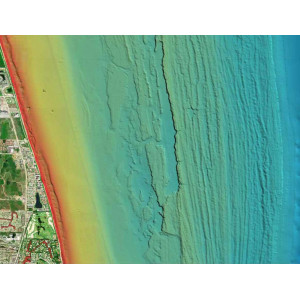
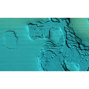
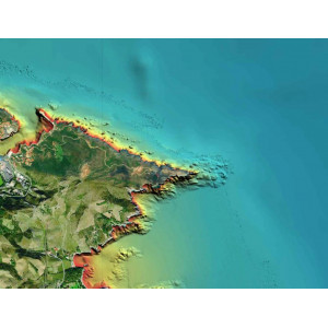
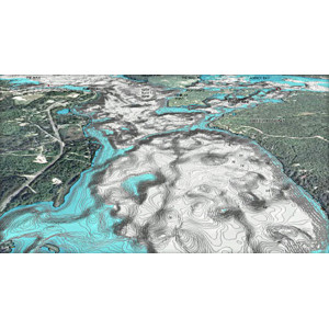
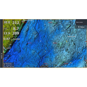
Relief shading delivers highly detailed shading that combines colour and shadow to provide an easy-to-interpret, clearer view of bottom structure than contour lines alone.
For coastal and inland boat owners who need to know as much as possible about sea and lakes beds, relief shading offers a better understanding of bottom detail for improved fishing and diving.
Key Features
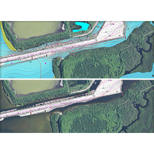
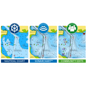
Satellite overlay with Sonar Chart Shading: A combined overlay unveiling hidden features that might hold fish
Dock-to-Dock Autorouting; Available on newer Raymarine, B&G, SIMRAD and Lowrance MFD chartplotters, Dock-to-Dock autorouting quickly calculates a detailed route even through narrow passages and channels, based on chart data and navigation aids
Plotter, mobile and PC! On plotter, find the same presentation across a wide range manufacturers. On mobile and PC, just download one Navionics Boating app and select your region.
Daily Updates; One year of free updates is included with your new Navionics+ chart, giving you unparalleled accuracy.
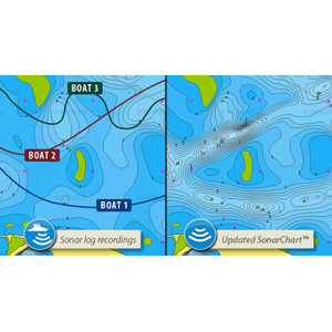
SonarChart™ Live allows you to create new personal 1 ft/0.5 m HD bathymetry maps that display in real time while navigating. The feature can be displayed directly on the screen of compatible plotters, or on a mobile device within the Navionics Boating app when connected wirelessly to a sonar.
Plotter Sync; If you own a compatible plotter from Raymarine, you can use Plotter Sync to transfer routes and markers, upload sonar logs, download new areas and updates to your card, and activate a new Navionics+ card wirelessly by connecting an iPhone, iPad or Android with the Navionics Boating app to your plotter.
Community Edits; Local inputs added by millions of Navionics mobile and plotter users throughout the year.
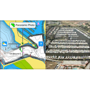
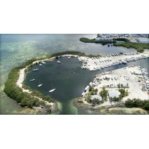
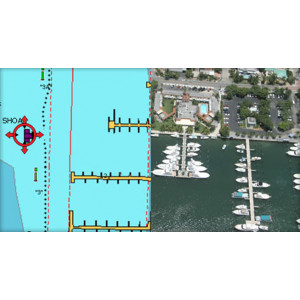
Satellite Overlay; Especially helpful in congested ports and marinas, crisp satellite overlay can also help you find hidden features such as backwater channels that might hold fish.
3D View; Dynamic 3D View allows you to customize your chart to highlight key features for a better awareness of your surroundings.
Panoramic Photos; Panoramic photos give a better sense of the surroundings so you can evaluate your options.
Choose From
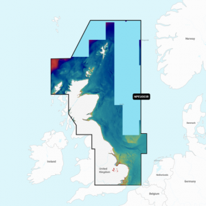
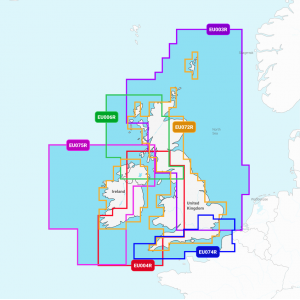
- NPEU003R Great Britain, North East Coast
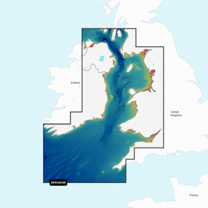
- NPEU004R Irish Sea
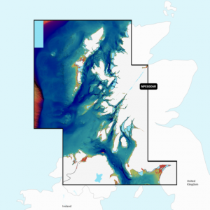
- NPEU006R Scotland West Coast
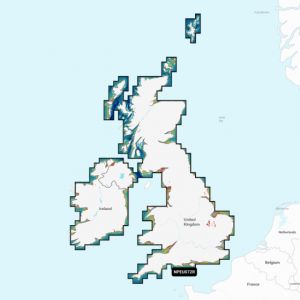
- NPEU072R UK & Ireland Lakes and Rivers
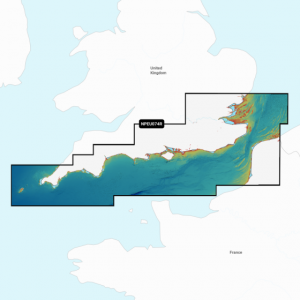
- NPEU074R English Channel
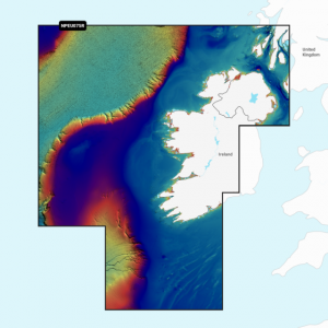
- NPEU075R Ireland West Coast
Downloading Relief Shading
Navionics Platinum+ Charts are compatible with the following Chartplotters*:
B&G: Zeus3S Glass Helm; Zeus3S; Zeus3; Zeus2 Glass Helm; Vulcan 7R, 9, 12; Vulcan 5, 7, 7FS; Zeus2
Furuno: GP-1871F; GP-1971F
Humminbird: XPLORE series; APEX series; SOLIX G3 series; SOLIX G2 series; SOLIX G1 series; ONIX series; ION series; HELIX G4N series; HELIX G3N series; HELIX G3 series; HELIX G2N series; HELIX G2 series; 1199CI HD SI, 1199CI HD SI KVD, 1198c SI, 1197, 1159CI HD, 1159CI HD XD, 1159CI HD DI, 1158c, 1158c DI, 1157, 1155; 999CI HD SI, 999CI HD SI KVD, 998c HD SI, 998c SI, 998, 997, 967, 959CI HD, 959CI HD XD, 959CI HD DI, 958c HD, 958c HD DI, 958, 957, 955, 947, 937, 917, 899CI HD SI, 899CI HD SI NAV, 899CXI HD SI, 898c HD SI, 859CI HD, 859CI HD XD, 859CI HD DI, 858c HD, 858c HD DI, 858
JMC: Super Pilot Max III, NP-90 MAX, NP-120 MAX, V-90 MAX, V-120P MAX
JRC: FF-901
Lorenz: MagnumPro HD; Atom 9, 9+, 12, 12+
Lowrance: HDS PRO 9, 10, 12, 16; HDS LIVE 7, 9, 12, 16; HDS Carbon 7, 9, 12, 16; Elite Ti2 series 7, 9, 12; Elite FS 7, 9, 10, 12; HDS Gen3 7, 9, 12; Elite Ti 5, 7, 9, 12; HDS Gen2 Touch 7, 9, 12; HDS Gen2 5, 7, 8, 9, 12; HDS Gen1 5, 7, 8, 10
MarCum: MX-7GPS, MX-7GPSLI; RT-9
Marine Pan Systems: C1, N9, N9-Fish, N12, N12-Fish
ONWA: KP-25/27(series), KP-38, KP-38A, KP-38S, KP-39, KP-39A, KP-708, KP-708A; KCombo-7, KCombo-7A, KP-1299, KP-1299A, KP-1299C, KP-1299X, KM-8, KM-8A, KM-8C, KM-8X, KM-12, KM-12A, KM-12C, KM12X
POLAR: Plotter Controller PCC-202; PCP-209, PCP-222
Raymarine: Axiom+ series; Axiom XL series; Axiom Pro series; Axiom 2 Pro series; Axiom series, e-series; c-series; a-series, gS-series; eS-series, Element S series; Element HV series
Simrad: NSS evo3S; NSO evo3S; NSS evo3; GO 5/9/12 XSE; GO XSR; GO 7 XSE; GO; IDS; NSO evo3; NSO evo2; NSS evo2; NSO; NSE; NSS
Seiwa: Explorer 23, SWx 90w, 900cw, 1200w, 1200cw
Si-Tex: Explorer NavPro, NavPro 900, 900F, 1200, 1200F
Navionics Platinum+ Plus Regular Area UK
- Brand: Navionics
- MPN: See options
- Model: Platinum+ Regular
- Availability: Pre-Order
- Lead Time: 1-2 days
- £239.99
-
£222.00
- Ex VAT:£185.00
Available Options
Related Products
Navionics+ Plus Regular Area
£149.99 £134.99 Ex VAT: £112.49
C-MAP Reveal UK and Ireland
£204.19 £185.00 Ex VAT: £154.17
Tags: Navionics, Navionics charts, Navionics Platinum, Navionics Local, Navionics UK, Navionics +, Navionics gold


