Charts
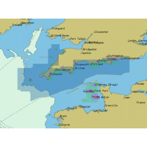
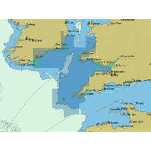
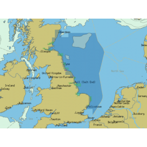
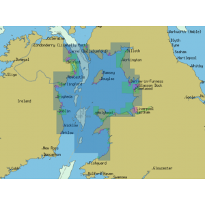
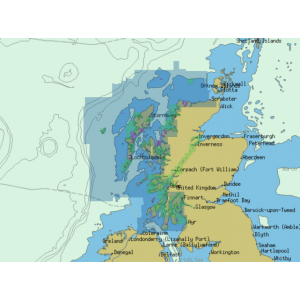
Echomaster Direct offers a wide range of mapping options from industry-leading commercial chart providers.
C-MAP by Jeppesen offer a large coverage area and feature accurate depth contours, bottom type, anchorage areas, bridge clearances, wrecks and obstructions whilst Navionics provides powerful plug-and-play electronic charts for regions around the globe, available in two levels to suit a range of boating needs. Insight Planner is the ultimate PC software for marine navigation planning with compatible Lowrance, B&G and SIMRAD chartplotters.
ChartWorld Charts offer a cost effective solution for a wide range of commercial Chartplotters including Olex and Sodena.
Refine Search
£150.00 Ex VAT: £125.00
£150.00 Ex VAT: £125.00
£150.00 Ex VAT: £125.00
£150.00 Ex VAT: £125.00
£150.00 Ex VAT: £125.00
£150.00 Ex VAT: £125.00
£150.00 Ex VAT: £125.00
£150.00 Ex VAT: £125.00
£150.00 Ex VAT: £125.00
£150.00 Ex VAT: £125.00
£150.00 Ex VAT: £125.00
£150.00 Ex VAT: £125.00
£150.00 Ex VAT: £125.00
£150.00 Ex VAT: £125.00
£150.00 Ex VAT: £125.00
£150.00 Ex VAT: £125.00
£150.00 Ex VAT: £125.00
£150.00 Ex VAT: £125.00
Showing 1 to 18 of 18 (1 Pages)


